Master the Art of Precision Drilling with Real-Time
Geosteering Intelligence
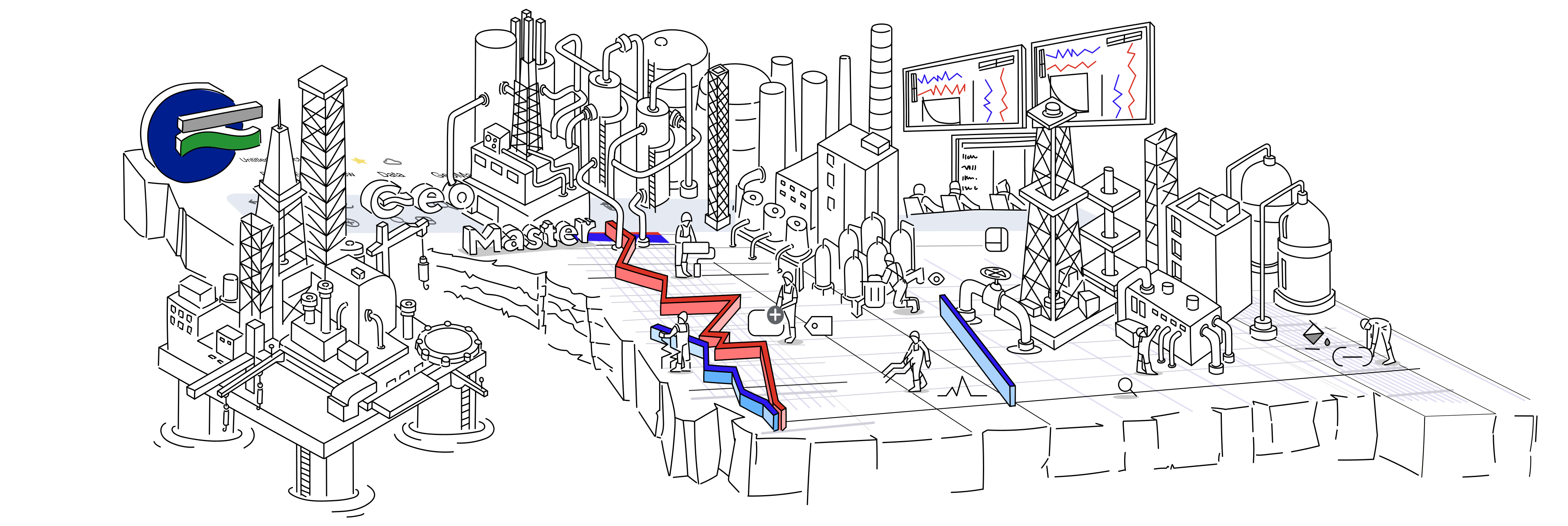
GeoMaster provides user-friendly, real-time geosteering tools for precision drilling. Our web-based platform ensures fast, interactive decision-making during drilling operations, helping teams improve accuracy and efficiency without the need for complex hardware
Key Features
Standout features of our Geosteering software
Integrated
Merge diverse data sources and tools for comprehensive insightsUser-friendly
Intuitively interface endures easy navigation and efficient workflowWeb-based
You can have access from any browser, flexibility and remote collaborationCustom Reports
customized reports for each participant for convinceSubscription
Flexible plans to varied needs, ensuring affordabilitySelf-hosted
Optional Data control with on-premises hosting optionsvaluable resources for your geosteering journey
Blogs and latest news updates
Stay informed with our regularly updated blogs and news section, offering insights into the latest trends, developments, and best practices in geosteering.
Geosteering Guide for better understanding
Dive into the fundamentals of geosteering with our informative guide
Video tutorials for efficient learning
Dive deep into geosteering techniques with our comprehensive video tutorials, designed to enhance your skills and knowledge.
Ready to Start Your Geosteering Project?
Complete the required information to start your one month Free Trial subscription.
Why choose us
What Makes Us Different
Cooperation Enhanced with Integrity
We prioritize integrity to use seamless collaboration among users.
User-friendly Approach
Our software is designed for fast learning and use, ensuring productivity.
Efficiency advanced custom reports
Tailored reports offer precise insights for each participant, enhancing decision-making.
Web-based for speed
Accessible from anywhere, our platform ensures real-time collaboration and swift decision-making
Subscription models
Flexible plans make our software accessible without breaking the bank.
Flexible usage timelines
Users can use our software on their own terms, maximizing its value.
Privacy with self-hosted option
Maintain control over data and privacy with our self-hosted deployment.
Geosteering techniques
Geosteering techniques guide the real-time adjustment of well paths during drilling to stay within targeted subsurface layers. By analyzing data from logging tools and measurements while drilling (LWD/MWD), geologists and engineers can precisely navigate the wellbore to optimize reservoir contact, enhance production, and minimize drilling risks. These techniques involve continuous interpretation of geological and structural data, ensuring that wells are accurately steered through optimal zones in complex geological settings.
Model-Based Geosteering
We use the geosteering well log to correlate against synthetic log from a reference well. We make adjustments on a horizontal track to stay on sweet zone.Strat-Based Geosteering
We try to match the geosteering well log with a reference well log by stretching and squeezing it. This helps us to make sure we're drilling in the right direction and within the desired geological layers.